Building a 3D Elevation Photo Diary with deck.gl
gkst Thursday, February 12, 2026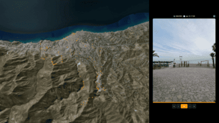
Summary
The article describes the process of building a 3D elevation photo diary, including using photogrammetry software, a DSLR camera, and elevation data to create detailed 3D models of landscapes over time, allowing users to track changes in the environment.
4
0
Summary
geeksta.net